Sorry we are experiencing system issues. Please try again.
About Mount Pleasant West
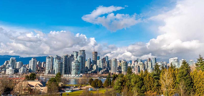
Nestled between the east and west side of Vancouver is Mount Pleasant West, a neighbourhood home to quiet streets, bike routes, and a mix of low rise apartment buildings, townhomes and single family dwellings. Residents who live in this neighbourhood get the best of both worlds ” top of the line transportation access and any amenity they can think of, along with quiet residential streets. A newly developed commercial area which features a Whole Foods, Canadian Tire, Best Buy, and other convenient shops, sits at its western boundary along Cambie Street. Several large technology companies have taken root in a transitioning industrial area to the north end of the neighbourhood, allowing many residents to walk to work and keeping the energy of this area fresh and exciting.

Mount Pleasant West Listing Reports
Sorry we are experiencing system issues. Please try again.
Education
Residents of Mount Pleasant West live within the Simon Fraser Elementary School District (876/944). Eric Hamber (69/289) or Sir Charles Tupper Secondary (193/289) are the public Secondary School options. Private options include: Blessed Sacrament School (120/944), St. Patrick Elementary and High School (103/289), St. Francis Xavier School (52/944), and The Westside School. Vancouver Talmud Torah (140/944), Little Flower Academy (1/289) and York House (1/289) are all a short drive away.
Housing
Housing options are mainly high-density here, with low-rise apartments and condominiums, as well as character-style homes that have been converted into apartments or townhomes to accommodate the demand for rental properties in the area. Townhomes are also popular options. Single-family dwellings are more common near the centre and northern end of the neighbourhood, however, listings are rare as this neighbourhood is incredibly popular. Most listings are condominiums and townhomes.
Location and Transportation
Mount Pleasant West is a small neighbourhood bordered to the north and south by West 6th Ave and West 16th Ave, respectively. It’s east and west boundaries are Cambie Street and Ontario Street. Vancouver City Hall and Vancouver General Hospital are nearby marking it as a civic centre. Ample commercial amenities and transportations options are nearby. The neighbourhood sits between the bustling Cambie Corridor, as well as the transitioning Main Street Neighbourhood with its trendy restaurants and shops. Residents have access to the Canada line skytrain station at its western border. For those travelling east or west, the 99 B-Line express bus and many major arterial routes make commuting simple and easy.
Neighbourhoood Highlights
Location
Mount Pleasant’s ideal location cannot be underestimated. Access to the Canada Line Skytrain, main arterial routes, and local businesses spoil residents with accessibility and convenience.
Parks
Mount Pleasant West has access to two beautiful parks: Mount Pleasant Park and Jonathan Rogers Park. Both Parks are large and have playgrounds, a community garden, skateboard parks, and more.
Main Street
Main Street is home to many of Vancouver’s trendiest and up and coming shops, restaurants and breweries. Many young professionals, artists and musicians reside in the area, though rising prices have pushed them to the east. Still, their influence remains giving the neighbourhood and exciting entrepreneurial, artistic, energy.
Market Report for Mount Pleasant West
This is a Market Report for the Mount Pleasant West Neighbourhood. This neighbourhood market report is a custom report which updates automatically with MLS data.

Mount Pleasant West Market Reports
Sorry we are experiencing system issues. Please try again.
Sorry we are experiencing system issues. Please try again.
Sorry we are experiencing system issues. Please try again.
